Cory Pass Loop Hike and Mount Edith - The Best Day Hike in Banff?
The stats
Time: 5 - 6 hours - a little extra if you want to add a slight side trip.
Distance: 13 km loop
Elevation Gain: 1100 m add a couple hundred more if you decide to do any part of Mount Edith
How To Get To The Cory Pass Trailhead
The official start of the trail head is at Fireside day use area just off the Bow Valley Parkway however getting here isn’t always as simple as you may expect!
During spring and fall, normally the whole months of May, June and September, sections of the Bow Valley Parkway is only open to cyclists - Fireside day use area sits in that restriction.
So if you’re planning on taking on this hike at certain times of year you may have to cycle or walk the first section of road to make it to the trail head. This will of course extend your day and by a fair few kms if you choose to walk the extra distance.
You can find more information about the Bow Valley Parkway restrictions here.
To be honest though it is a great hike to ride to directly from the town of Banff and leave the car behind.
Having this restriction in place also means that the Cory Pass trail remains a hidden gem and doesn’t see the crowds of other hikes in the park.
Once you’ve made it to Fireside day use area you’ll then need to cross the river. There was once a bridge here but it was washed away in flooding some time ago and as far as I know hasn’t been replaced. If the river level isn’t too high you shouldn’t need to get your feet wet however certainly be prepared for this being a possibility. When you’ve made it to the other side you should find a stone fireplace and a series of picnic benches. This is when you know you’re on the right track!
The hike
Cory Pass, in my opinion, is one of if not the best day hike in Banff. It’s actually really close to town but remains under the radar for most visitors to the area.
It offers some of the best views you can get in Banff national park without the crowds or having to put in a particularly long day and also has some fantastic side missions for even better views!
This hike isn’t for the faint hearted though and sections of it are steep, exposed and technical but this is what makes it even more rewarding.
Once you’ve crossed the river and found the start of the trailhead the trail will follow parallel to the highway for around the first 1 km before it starts to get steep, and boy does it get steep!
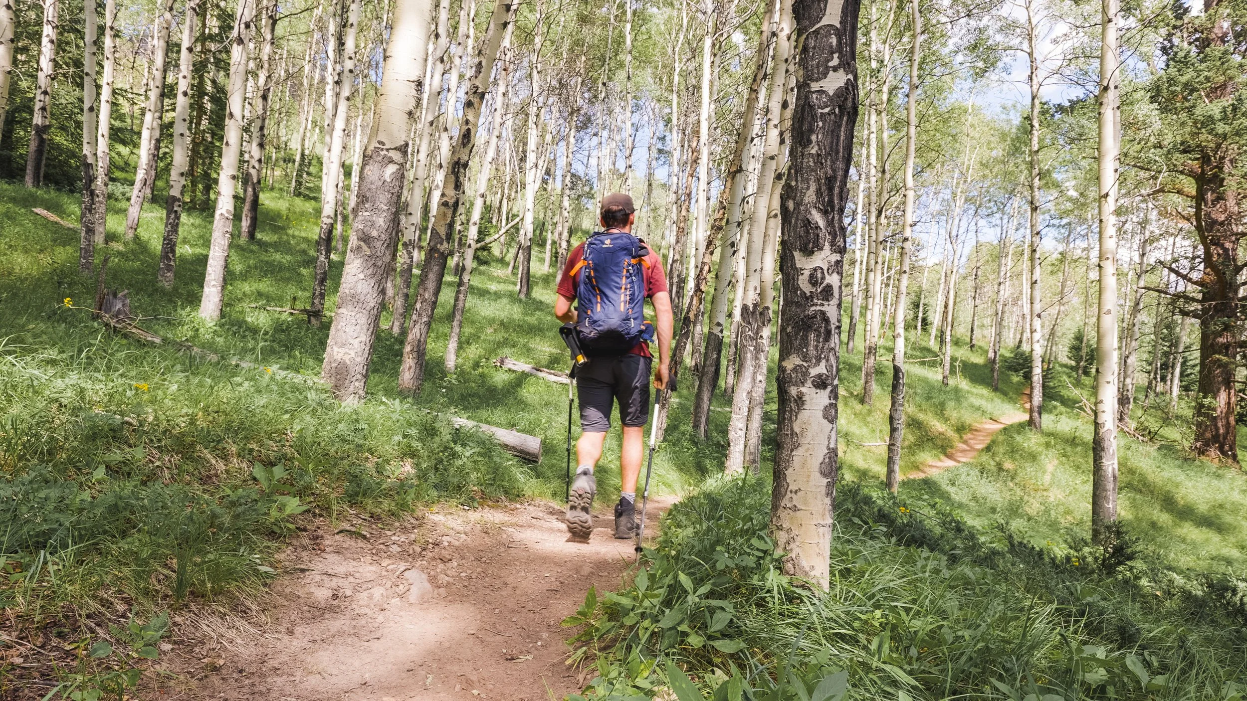
The first short section of the trail is mellow and flat winding between Aspen trees. At the first fork you’ll want to take a left so you can do the Cory Pass loop in a clockwise direction.
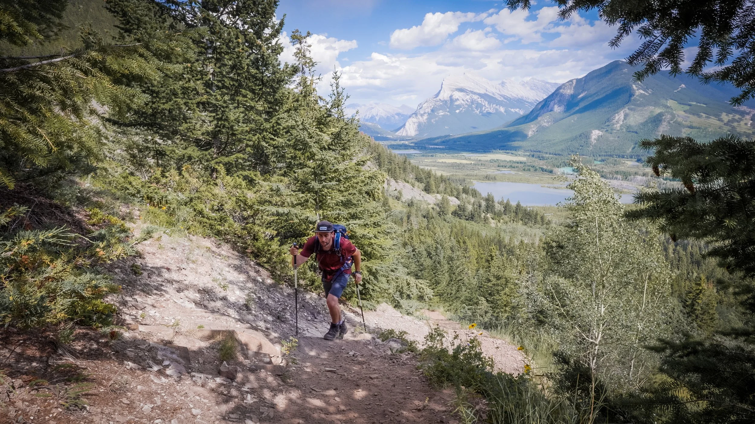
However the trail starts getting steep pretty early on with the path turning to loose scree and dirt.
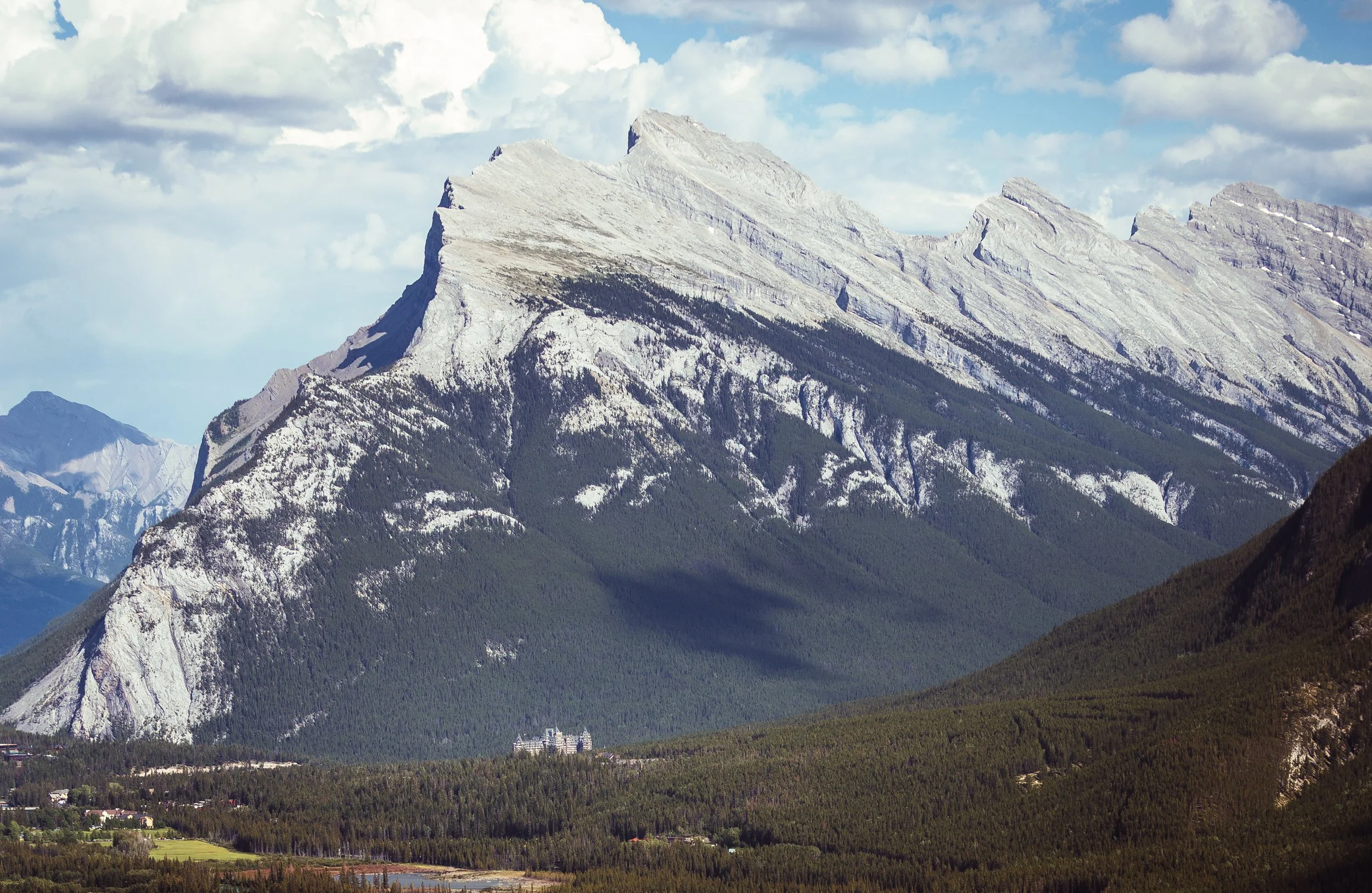
During the first km of uphill you will find several openings along the trail offering some fantastic views back towards Mount Rundle and the valley below. It’s a perfect opportunity to use taking in the view as an excuse to catch your breath!
At around the 2 km mark you’ll be deep in to pine forest and the trail gets a little braided and hard to distinguish so it can be easy to go the wrong way. There is one particular fork which is a little misleading but you’ll need to go up and left rather than straight on. Unfortunately with hiking in the Rockies steepness and elevation is the name of the game!
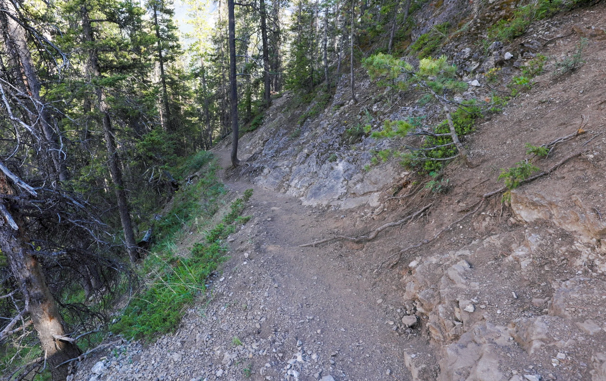
This is the trail you’ll be walking on, you can see the trail branching off to the right of frame (hikers left as you’ll be walking towards screen) which barely looks like a trail. Don’t go straight on, head uphill!
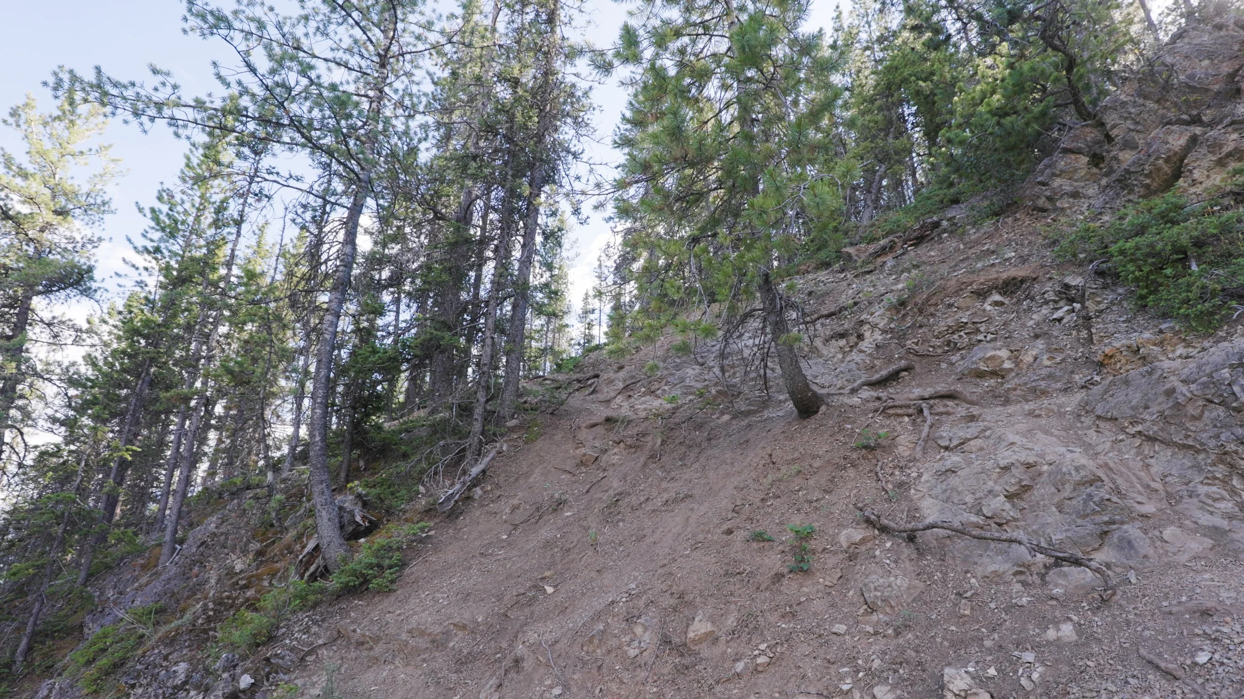
The uphill section of the trail that you’ll need to take!
If you’re unsure about your route finding and navigation skills I highly recommend using an offline mapping app like AllTrails - sign up to a plan or just use their free trial to download maps and info offline.
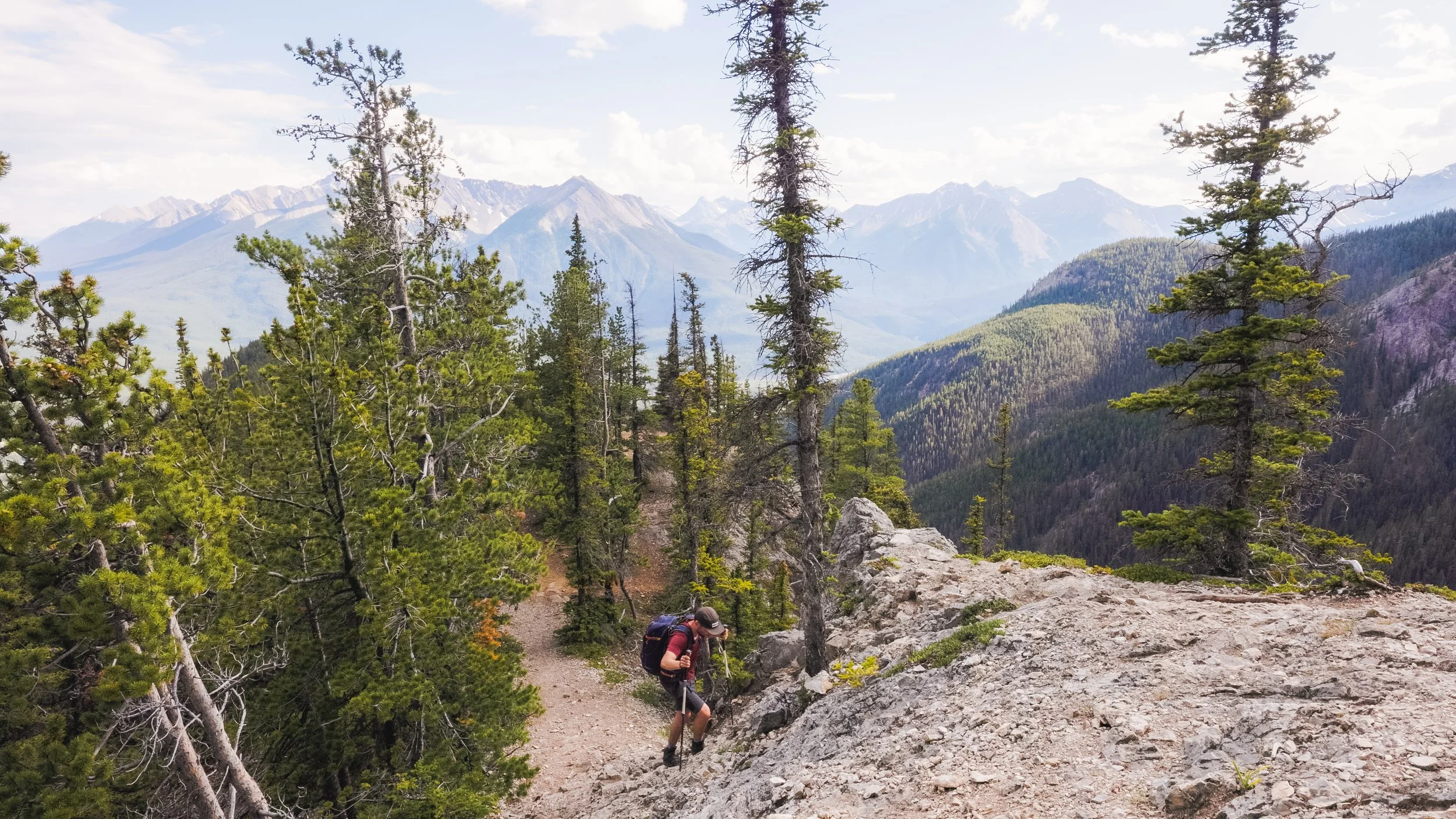
At the top of the tree line you’ll be met with some steep but short border line scrambling up and down. This isn’t anything most people can’t handle but if you aren’t great with heights or exposure these sections could be challenging. Careful footing and taking your time is the name of the game!
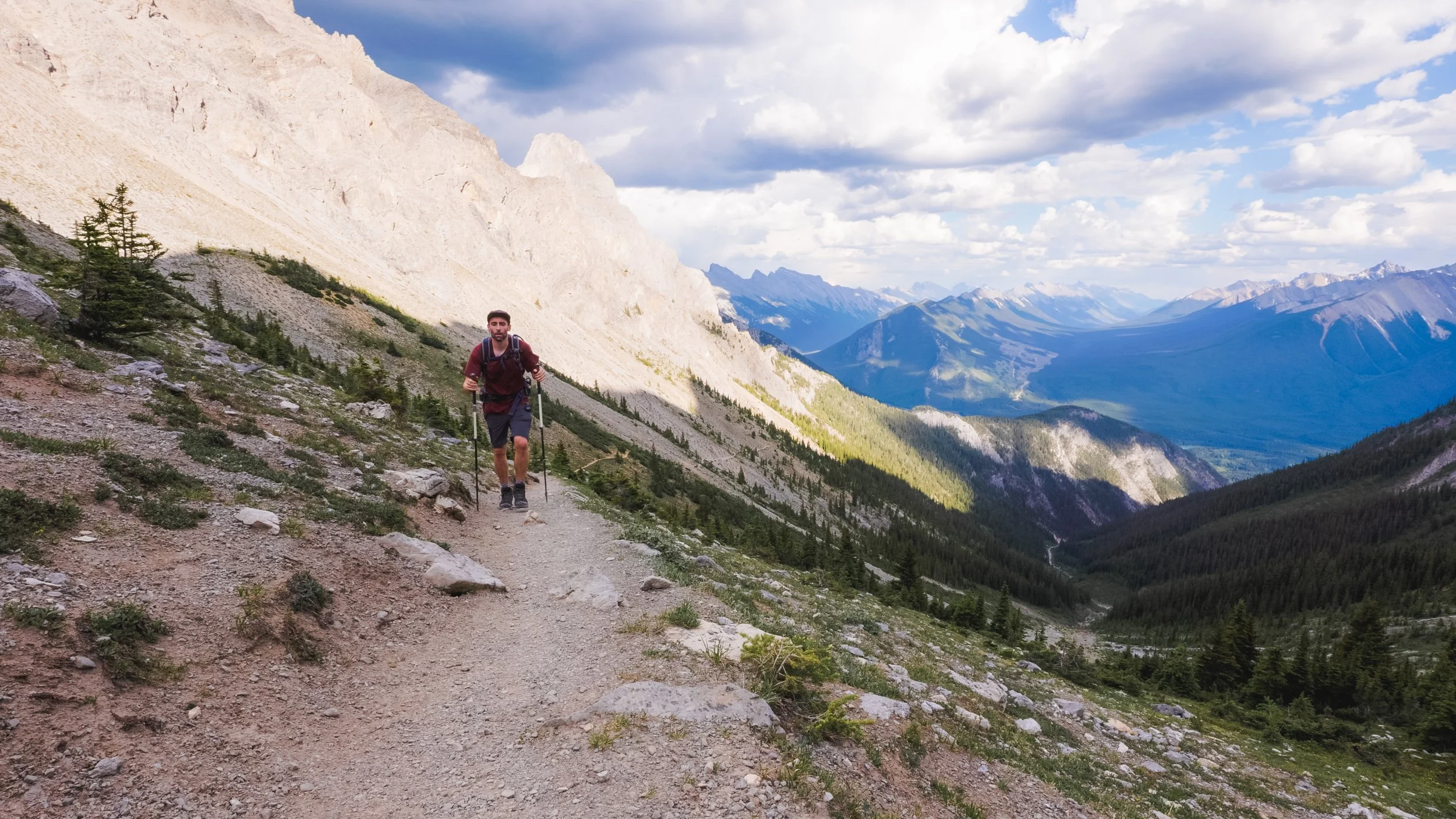
From here simply follow the trail that hugs the mountain side. The trail is mellower with a shallower gradient and straight forward to follow. However as you can probably tell it is cut into a steep scree slope so there is some exposure to be aware of.
Eventually you’ll come to the top of Cory pass with views of Mount Cory ahead of you.
Mount Edith
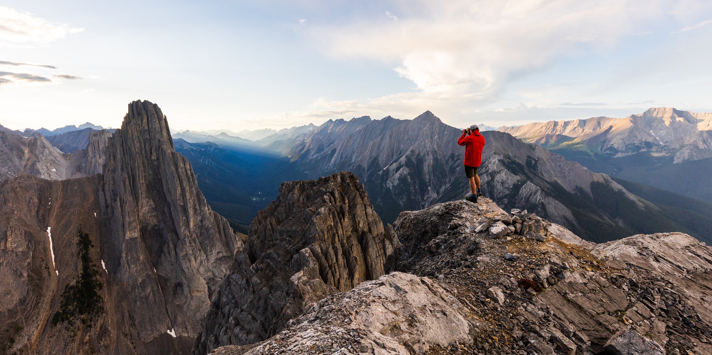
Once on the top of the pass you’ll see a trail heading up the scree on the right hand side, this is the start of the route up to Mount Edith. Now I won’t go in to too much detail on the Mount Edith section of this trail because it is definitely a more advanced scramble. The main route up however is to follow one of the distinctive chimney features, squeezing yourself between, from there it’s a case of route finding and working out the safest and most efficient route to the top. If you’re choosing to extend your trip and scramble Mount Edith I would 100% recommend taking a helmet with you as well as an SOS device in case you get into any trouble.
The views, even before the true summit are something else though!
Back on the Cory Pass Loop
Once you’ve had your fun exploring the multiple summits of Mount Edith head back down to the pass and continue the trail on. From the pass you can see the trail as it makes it’s way across the scree.

Here you can see the trail on the right hand side, again there is a fair amount of exposure but the elevation gain is on its way down!
Whilst walking through the pass you’ll enjoy some of the best views of any hike in Banff. It’s hard to believe how quiet this hike is whilst being so close to Banff.
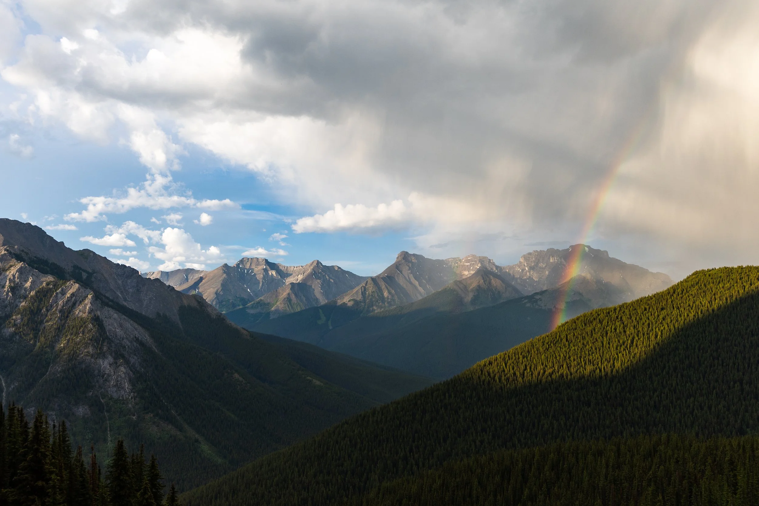
Once through the pass before getting back into the woods you’ll be rewarded with some more fantastic views across the valley. From here it’s a pretty straight forward hike out following a wide, soft trail through the mossy woods. This last section of trail isn’t the most scenic but is very easy on the legs and lasts about 6 - 7 km until you get back to Fireside.
Valley views
Things To Know Before You Go
Closures
Check Bow Valley Parkway closures before attempting this hike, you may need a bike to get to the trailhead as the extra mileage it would add walking from the nearest parking lot can be quite substantial.
Leave No Trace: When hiking anywhere in the world it’s important that you practice a leave no trace philosophy. This means whatever you hike in to a trail or campground you have to be able to hike out too. There won’t be trash cans or waste disposal in the backcountry and you should never throw trash in any out houses or pit toilets. In recent years, as trails and parks become busier, litter is becoming more of a problem. Don’t add to that problem!
Bears and Wildlife! Wild life is everywhere in the Canadian Rockies, even on trails that are close to town. People and animals have been attacked by bears and other wild life on popular trails in the past so don’t take it for granted.
Most wildlife is looking to avoid human contact so no matter what type of wildlife you see be sure to keep your distance. 30 metres is the minimum recommendation for most species but under any circumstance don’t approach wildlife. Even the cuddliest of critters can be dangerous!
So as always be bear aware, make noise, hike in groups, carry bear spray and, if they’re allowed on trail, keep your dog on a leash!
Offline maps knowing where you’re going is super important as to not get lost. I recommend All Trails Plus for finding routes and offline mapping allowing you to safely find your way home.
Interested in other multi-day hikes in the Canadian Rockies or maybe day hikes?
Be Prepared
Take poles! This trail is steep and sections of it are eroded and a little slippery. If you plan to do a side mission and summit any part of Mount Edith take a helmet with you and don’t go alone!
Weather
This trail can be tricky and slippery in the wet or in the snow due to lots of steep sections, stay safe and check the weather before you depart.