Ha Ling Peak - A Perfect Entry to Canadian Rockies hiking
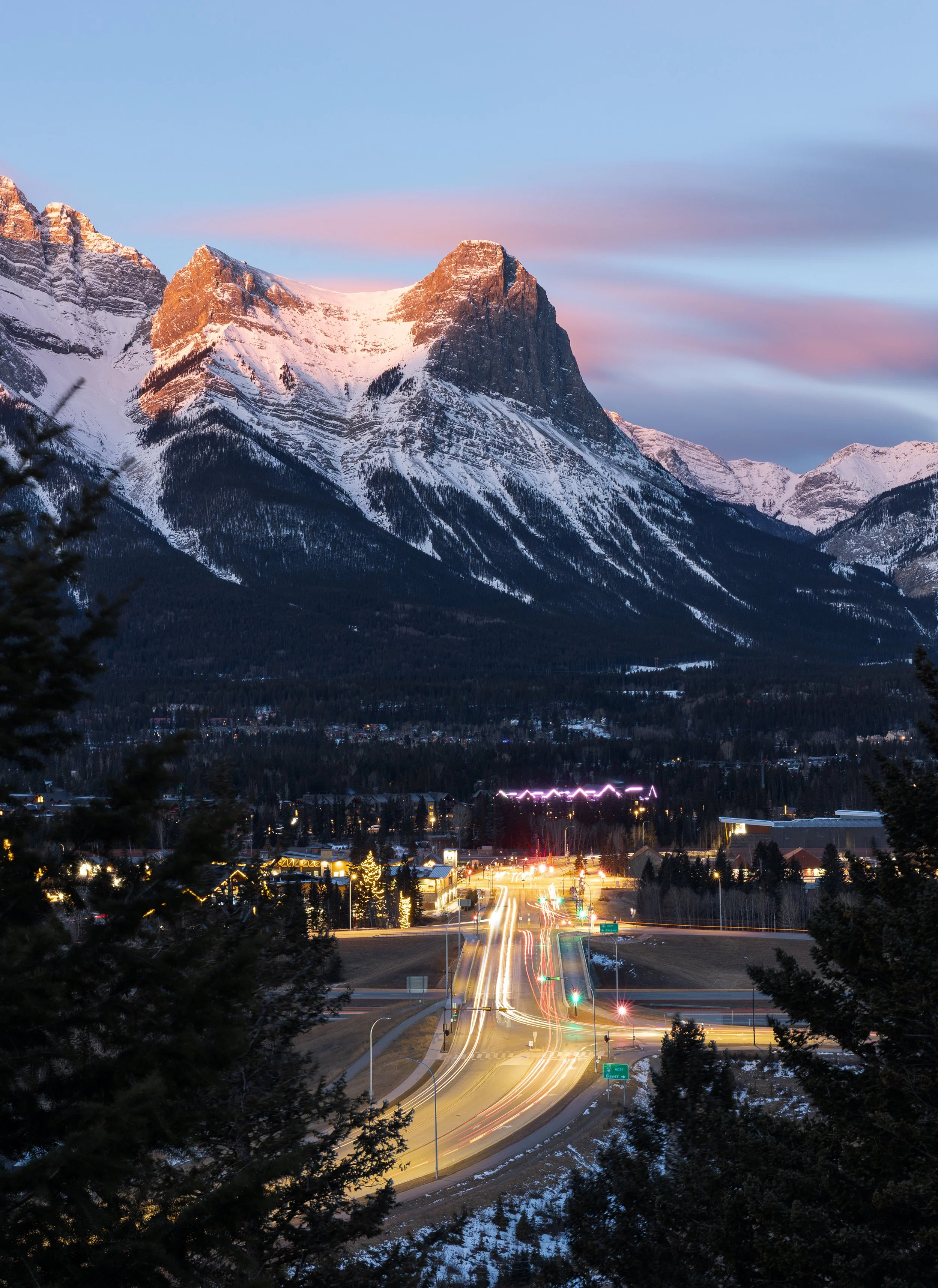
The peak as seen from across the highway looming over the town of Canmore.
The Ha Ling Peak trail situated just south of the town of Canmore saw huge renovations not all that long ago making the trail accessible to even more wannabe adventurers. The mountains position and well maintained trail make this a great entry hike in to the steep and mountainous terrain of the Canadian Rockies for first time hikers.
Ha Ling Peak is named after a Chinese cook from the Canadian Pacific railway who was once bet $50 that he couldn’t make it to the summit and back in under 10 hours. This was back in 1898, he easily managed the impressive feat and was back in time for lunch, so fast that a lot of people doubted he’d made it at all. To prove them wrong he guided a group of others to the top and planted a large flag atop visible from the town of Canmore. His legend lives in today with this peak being one of the most notable and most climbed in the Canadian Rockies.
The stats
Time: 2.5 - 4 hours depending on fitness level - even quicker if you run it!
Distance: 8 km out and back
Elevation Gain: 800 m of gain
How to Get to the Ha Ling Peak Trailhead
The trailhead to Ha Ling is just over the road from the newly renovated Goat Creek Trail Parking lot. This parking lot has been expanded in recent years so parking is never really an issue!
The lot is around a 20 minute drive from the town of Canmore. From town follow signs to ‘Kananaskis’ and drive past the nordic centre and on to the gravel road. This road can be a little unruly and borderline dangerous in the winter after a fresh snow fall so keep that in mind. There will be pot holes, uneven ground and narrow passing along this windy mountain road.
The hike
Unfortunately like a lot of hikes in the Canadian Rockies Ha Ling Peak is a steep and short trail. The saving grace of this hike though is the fact that the trail has been revamped in recent years and remains very well maintained. Switch backs were added extending the trail a little but also reducing the grade as well as more challenging sections replaced with wooden steps.
The trail is super easy to follow so doesn’t need a huge amount of description but you’ll spend the first couple of kms in the trees.
A word of warning: even though Ha Ling is a well trodden trail wildlife still very much calls the forest here home.
There have been regular bear and even cougar sightings here over the years with several dogs having actually been attacked by cougars on this trail in the past. So as always be bear aware, hike in groups, make noise and always keep your dog on a leash!
Around half way up the trail you’ll come to your first view point with views over Canmore and of the East End of Rundle across the valley.
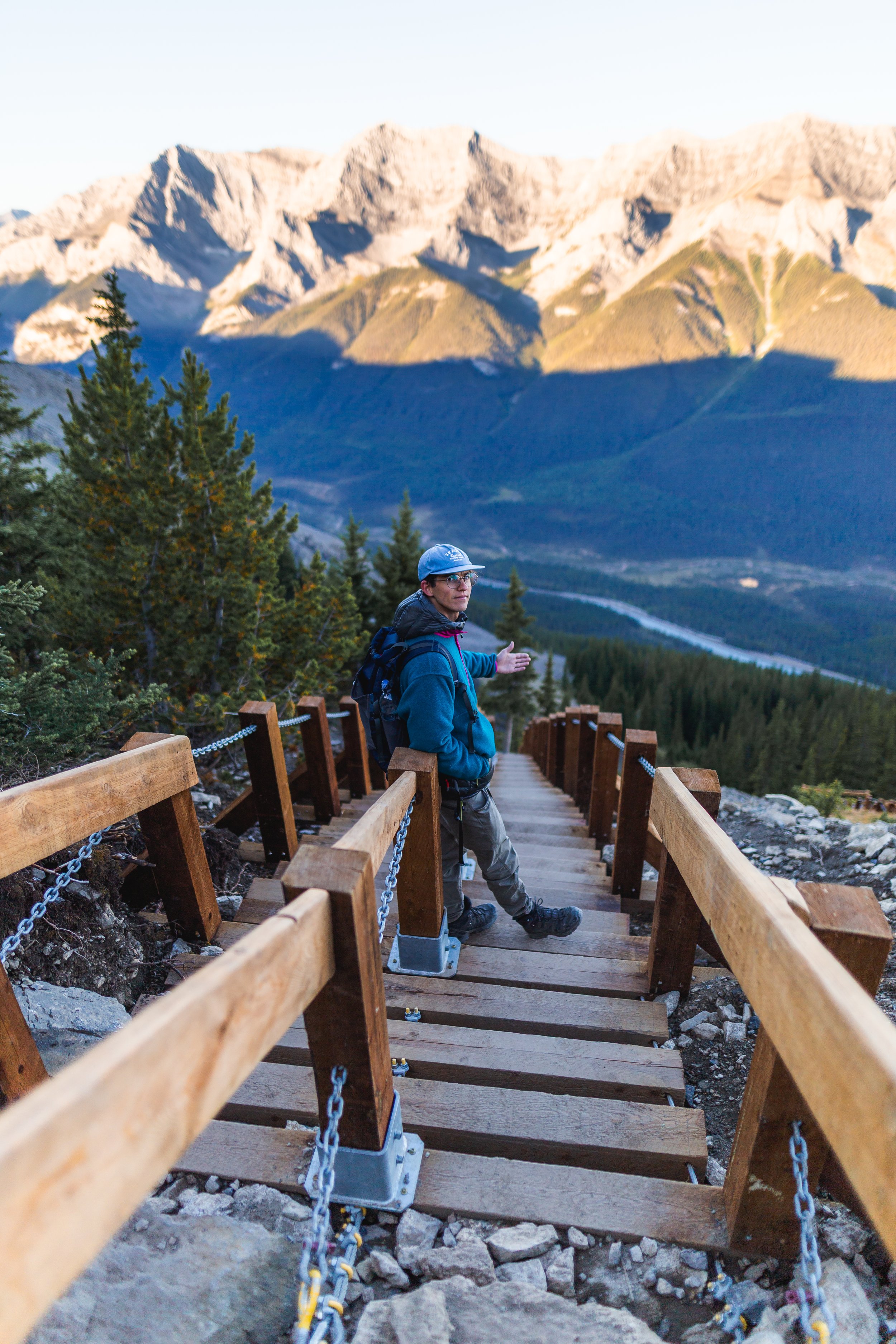
Once you’ve caught your breath and enjoyed the view continue on up on the same trail, eventually you’ll hit a series of wooden steps with metal chains, these will bring you pretty close to the summit.
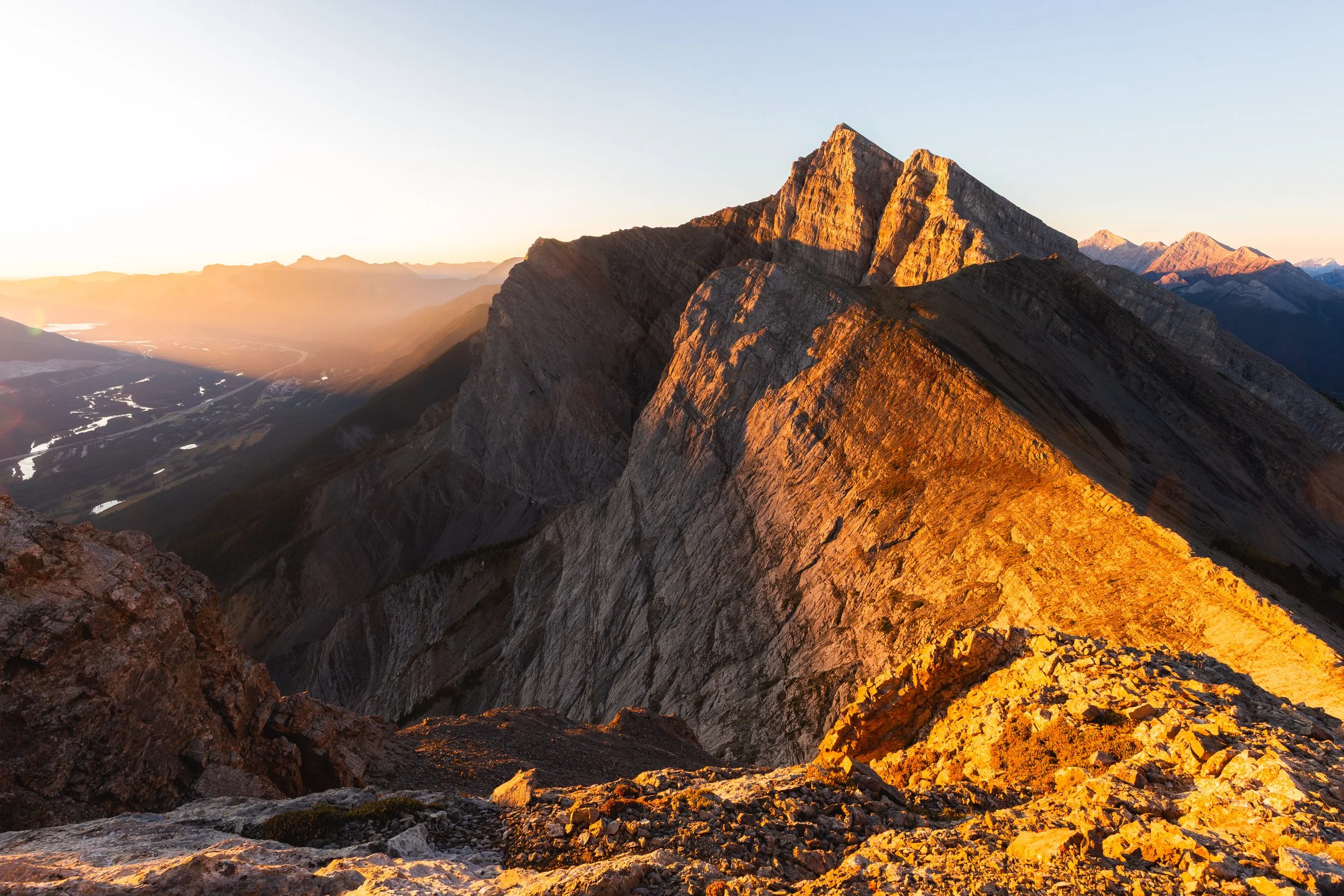
Now you’re almost there, just a little further! This last little section in some guide books is still noted as a scramble and although the terrain is certainly a little technical and it’s steep I wouldn’t personally call it a scramble. It is very unlikely that you’d need to use your hands to climb up any sections of this trail, just make sure you have good boots and poles are always a life saver!
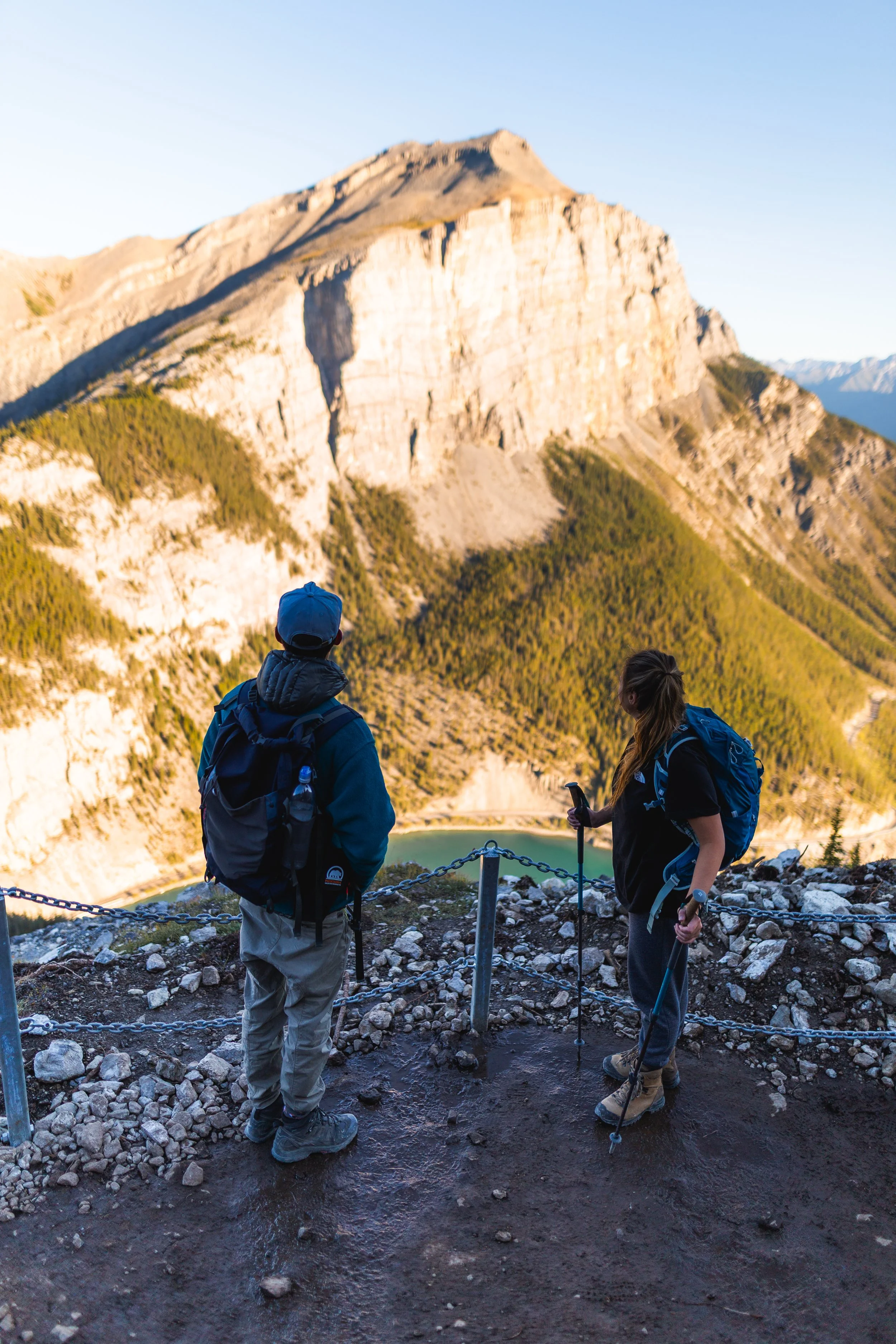
Once you’re at the top your effort will be rewarded with some amazing views towards Miners peak and back down towards the town of Canmore.
Once you’ve had your fill and enjoyed the views simply just retrace your steps back down the way you came!
Things to know Before You Go
Parks and Conservation Passes: Whether you’re hiking in a national park in Canada or certain provincial parks you’ll most likely need some kind of conservation pass. A Discovery Passwill cover you for the year for all national parks in Canada whilst the Kananaskis Conservation Passcovers the provincial and wildland parks in the Kananaskis region.
Check Trail Conditions Before You Go: Trail conditions in the Rockies can change month to month and year to year. Trails close for wildlife, weather and avalanche hazards. Be sure to double check trail conditions before heading out to avoid any disappointment. You can do so here!
Leave No Trace: When hiking anywhere in the world it’s important that you practice a leave no trace philosophy. This means whatever you hike in to a trail or campground you have to be able to hike out too. There won’t be trash cans or waste disposal in the backcountry and you should never throw trash in any out houses or pit toilets. In recent years, as trails and parks become busier, litter is becoming more of a problem. Don’t add to that problem!
Bears and Wildlife! Wild life is everywhere in the Canadian Rockies, even on trails that are close to town. People and animals have been attacked by bears and other wild life on popular trails in the past so don’t take it for granted.
Most wildlife is looking to avoid human contact so no matter what type of wildlife you see be sure to keep your distance. 30 metres is the minimum recommendation for most species but under any circumstance don’t approach wildlife. Even the cuddliest of critters can be dangerous!
So as always be bear aware, make noise, hike in groups, carry bear spray and, if they’re allowed on trail, keep your dog on a leash!
Offline maps knowing where you’re going is super important as to not get lost. I recommend All Trails Plus for finding routes and offline mapping allowing you to safely find your way home.
Shooting in the Rockies? Download a Photography Location Guide!
Interested in other multi-day hikes in the Canadian Rockies or maybe day hikes?Ha Ling Peak features in my downloadable, offline Canadian Rockies Photography Location Guide. Over 100 locations with GPS coordinates!